The Victoria County History (VCH) is well known for its detailed studies of individual localities, which assemble (in the words of one recent reviewer) ‘countless tiny parts to build a much larger whole’. This latest volume in the VCH Oxfordshire series turns the spotlight on a dozen ancient parishes in the far south-east of the county, all of them contained within a large southward loop of the River Thames, and straddling the south-west end of the Chiltern hills. On their fringes (but outside the area covered here) lie the market towns of Wallingford and Henley-on-Thames, with Reading over the river to the south. The parishes themselves remain largely rural, however, with the obvious exception of Caversham, which from the late 19th century became a densely settled Reading suburb. London (some 40–50 miles downriver) has exerted a constant influence from the Middle Ages, and from the 1840s the arrival of the railway accelerated the burgeoning gentrification of some of the larger riverside villages, a development still reflected in their buildings.
Until modern boundary changes the area was characterized by long thin ‘strip parishes’ stretching from the river into the Chiltern hills, often for several miles. The pattern had its origins in the compact local estates being created here (as elsewhere) in the 10th to 11th centuries, which were evidently planned to include a range of agricultural resources encompassing riverside meadow, open-field arable, and upland wood pasture. Upland settlement remains dispersed, with nucleated villages (and the majority of parish churches) confined to the riverside. That in turn affected not only economic organization but social and religious identity, with uplanders (even in the 17th and 18th centuries) sometimes displaying much closer links with neighbouring upland settlements and places of worship than with the distant village and church down by the river.
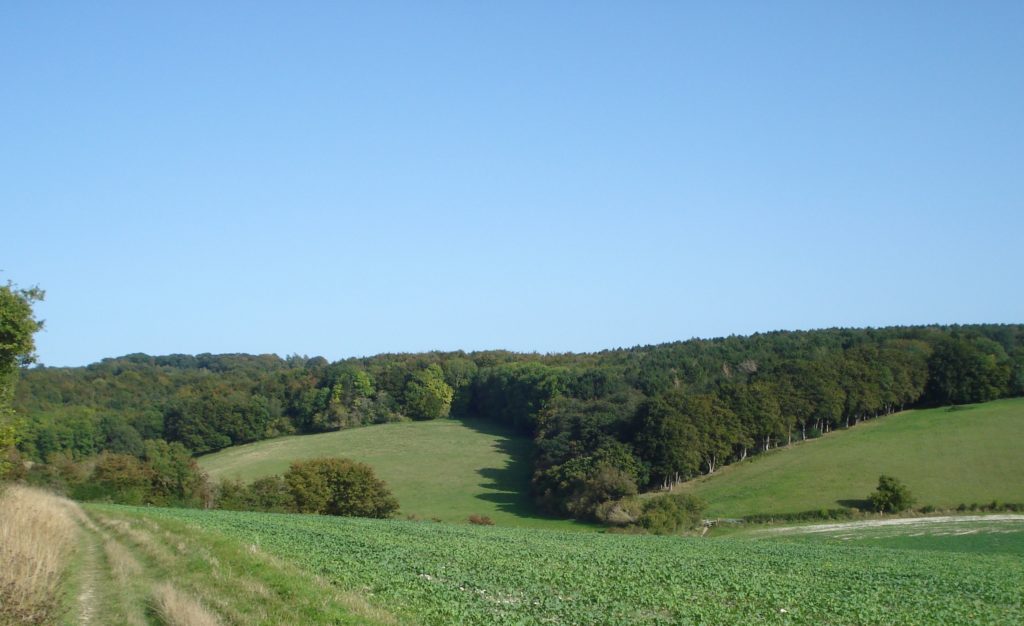
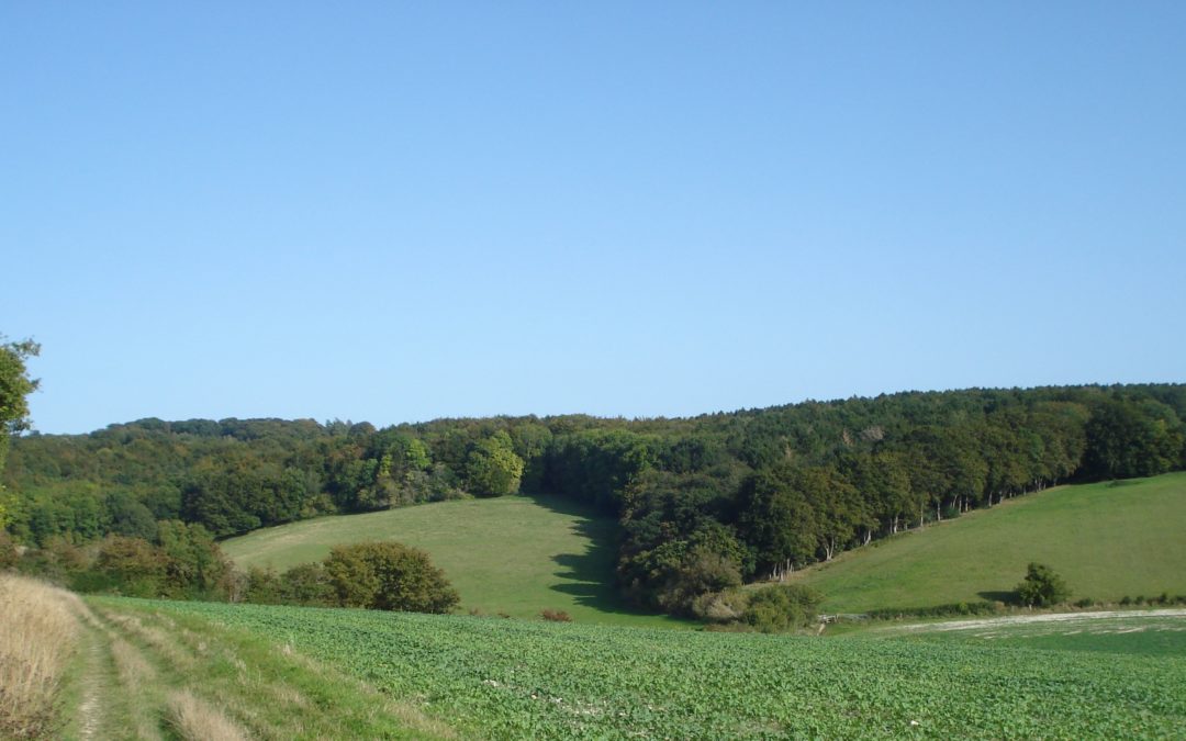
The Chiltern landscape: Great Chalk Wood, close to Goring.
As always with the VCH, it is the ordinary people who dominate the narrative – the peasants, yeomen, farmers, craftsmen, and labourers who worked the land and shaped their communities. Some larger riverside settlements emerged as local service centres from an early date, Crowmarsh Gifford (across the river from Wallingford) developing an early market and fair which prompted complaints from Wallingford townspeople. Nonetheless the area’s economy remained predominantly agricultural, with wood management (geared sometimes to the London market) playing a significant role particularly in the hills. Social links were both local and regional, while religious life, focused initially on parish churches and on exceptional institutions such as a Marian shrine at Caversham, became more diverse with the emergence of religious Nonconformity, particularly from the 19th century.
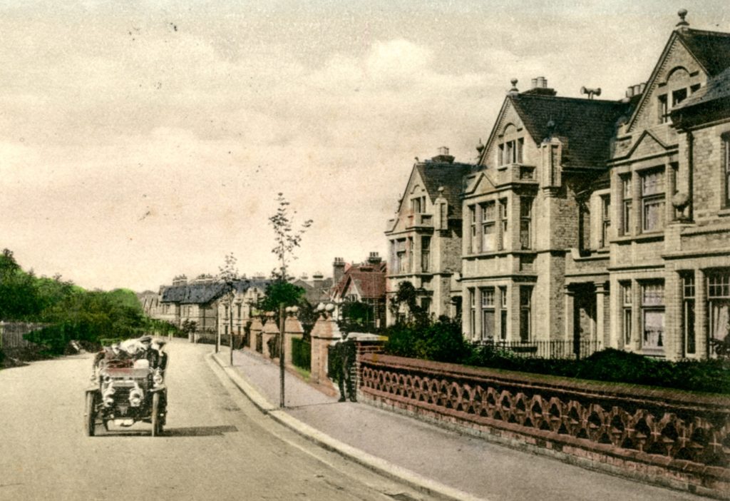
Caversham: early middle-class housing on Kidmore Road.
Scattered country houses and parks form an integral part of the landscape, displaying the elaborate use of brick, tile, and flint which (along with timber framing) characterizes many lesser buildings as well. A significant number of landowners after the Reformation were Roman Catholic recusants, Mapledurham House (owned by the prominent Blount family) becoming a local focus for Catholic worship into the 20th century, and incorporating elaborate early 17th-century priest hides. Some other landowners derived their wealth at least in part from the trans-Atlantic slave trade, the wealthy Dottins of English House owning Barbados plantations and keeping black servants – activities hard to reconcile, to modern eyes, with the contemporary description of one as a ‘humane, charitable and good man [of] amiable character’, and raising complex questions about the gulf between 18th-century and modern understanding.
The social and demographic changes of the 19th and 20th centuries affected the area’s larger riverside settlements in particular, attracting wealthy incomers and encouraging seasonal tourism, while Caversham’s transformation from ‘a small hamlet by the bridge’ to sprawling urban suburb was unique. Even so its rural neighbour Mapledurham (with its high concentration of surviving medieval houses) could be described in the 1970s as ‘still feudal in spirit’, and the Chiltern hills themselves remain thinly settled, characterized by scattered hamlets and farms and extensive woodland. The area’s continued appeal to wealthy incomers seeking seclusion and easy access to London is well illustrated by the volume’s star-studded index, in which the likes of Rowan Atkinson, George Clooney, and George Michael rub shoulders.
VCH Oxfordshire XX: The South Oxfordshire Chilterns is available now from Boydell and Brewer – to obtain a 25% discount (until 30 April), enter the code BB985 at the checkout.
Parishes covered: Caversham; Checkendon; Crowmarsh Gifford; Eye and Dunsden; Goring; Ipsden; Mapledurham; Mongewell; Newnham Murren; North Stoke; Shiplake; Whitchurch.
For more on VCH Oxfordshire visit our web pages or follow us on Twitter, @VCHOxfordshire.