 This post has kindly been written for us by Dr Justin Colson of the University of Essex
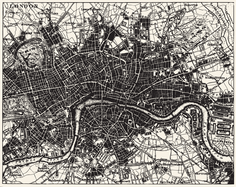
I have been teaching a short course on Historical Mapping and Geographical Information Systems (GIS) as part of the IHR’s research training programme for several years now, always using the industry standard ArcGIS software package by ESRI. This summer, however, I am running a version of the course using the alternative open source package QGIS (formerly known as Quantum GIS).
Several things have inspired this move to QGIS: the fact that the software is rapidly maturing in terms of functionality and stability; the fact that it is available across all platforms including MacOS X, and the growth of a community of users in historical GIS. The digital history tutorial site The Programming Historian now has a set of guides to QGIS which cover basic use of layers and geo-referencing scanned historical maps. QGIS has certainly come of age, and it now seems like a strong choice of mapping software for many historians.
QGIS also offers several distinct advantages over its competitors, at least for many of the tasks that historians seek to carry out with GIS. Many advanced ways of depicting data within maps, such as the popular ‘heatmap’ effect, and automatic displacement of overlapping points, which are complicated to achieve in other packages, are available in a single step. While QGIS cannot match ArcGIS for the sheer number and power of statistical and analytical tools, it does have a mature and comprehensive range of plugins which include easy ways to import mapping from open-source resources such as OpenStreetMap, and perhaps most usefully creating ready to use interactive maps to embed into websites.
Like the existing IHR Historical Maps and GIS training course, the QGIS course will first discuss the key geographical concepts and terminology required to understand cartography and GIS. Being aimed at historians, these concepts are explained through a potted history of maps. The first day also includes a chance to evaluate existing uses of GIS and web mapping in historical projects, and the use of Google’s free online custom mapping tools. Day two runs through all of the key processes required to work with historical material in QGIS including georeferencing historical maps, preparing historical data to be mapped, and two approaches to geocoding and displaying quantitative data. No prior geographical knowledge is required, but confidence with spreadsheets such as Excel is essential, and knowledge of relational databases such as Access is recommended.